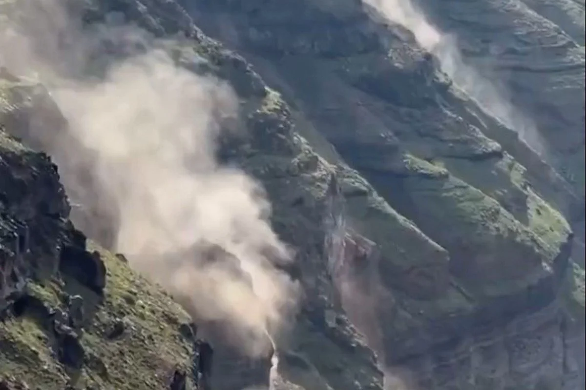
Seismic activity continues to rattle Santorini, with multiple earthquakes recorded in the Aegean region over the past few days. The strongest, initially reported as a magnitude 5.1 but later revised to 4.9 by the Geodynamic Institute, struck 19 kilometers north-northwest of Anafi. A landslide was recorded at the island’s famous Caldera, as the ground rumbled beneath the volcanic crater.
A 4.3-magnitude tremor followed at 1:20 p.m., with its epicenter 19 kilometers south-southwest of Arkesini, Amorgos—231 kilometers southeast of Athens. Just 30 minutes later, a stronger 4.6-magnitude quake was recorded 16 kilometers south-southwest of Arkesini.

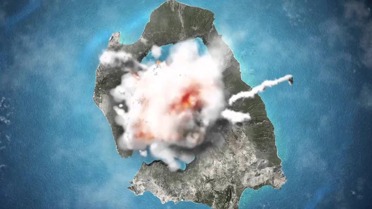
Recent earthquakes near the island of Santorini
Greek authorities, alongside seismologists and experts, are closely monitoring the situation as seismic activity intensifies in the region. In response to growing concerns, a 112 emergency alert has warned Santorini residents of landslide risks and strictly prohibited access to the beaches of Ammoudi, Armeni, and the Old Port of Fira.
🌋 Βρυχάται η γη κάτω από την Σαντορίνη έχουνε ξεκινήσει από τις πρωινές ώρες κατολισθήσεις στην Καλντέρα pic.twitter.com/d47Alroqp1
— Forecast Weather Greece (@ForecastGreece) February 3, 2025
A second 112 alert issued shortly before 1:00 p.m. cautioned residents of Ios, Amorgos, Thira, and Anafi about ongoing seismic activity, urging them to stay vigilant and follow official instructions.
Amid the increasing tremors, AEGEAN Airlines announced the addition of two extra flights on Monday, February 3, and one additional flight on Tuesday, February 4, to and from Santorini. The move, coordinated with the Ministry of Climate Crisis and Civil Protection, aims to assist residents and visitors wishing to leave the island. Regularly scheduled flights will continue as planned.
Authorities remain on high alert as aftershocks persist, assessing potential risks and ensuring public safety in the affected areas.